


Design and Implementation
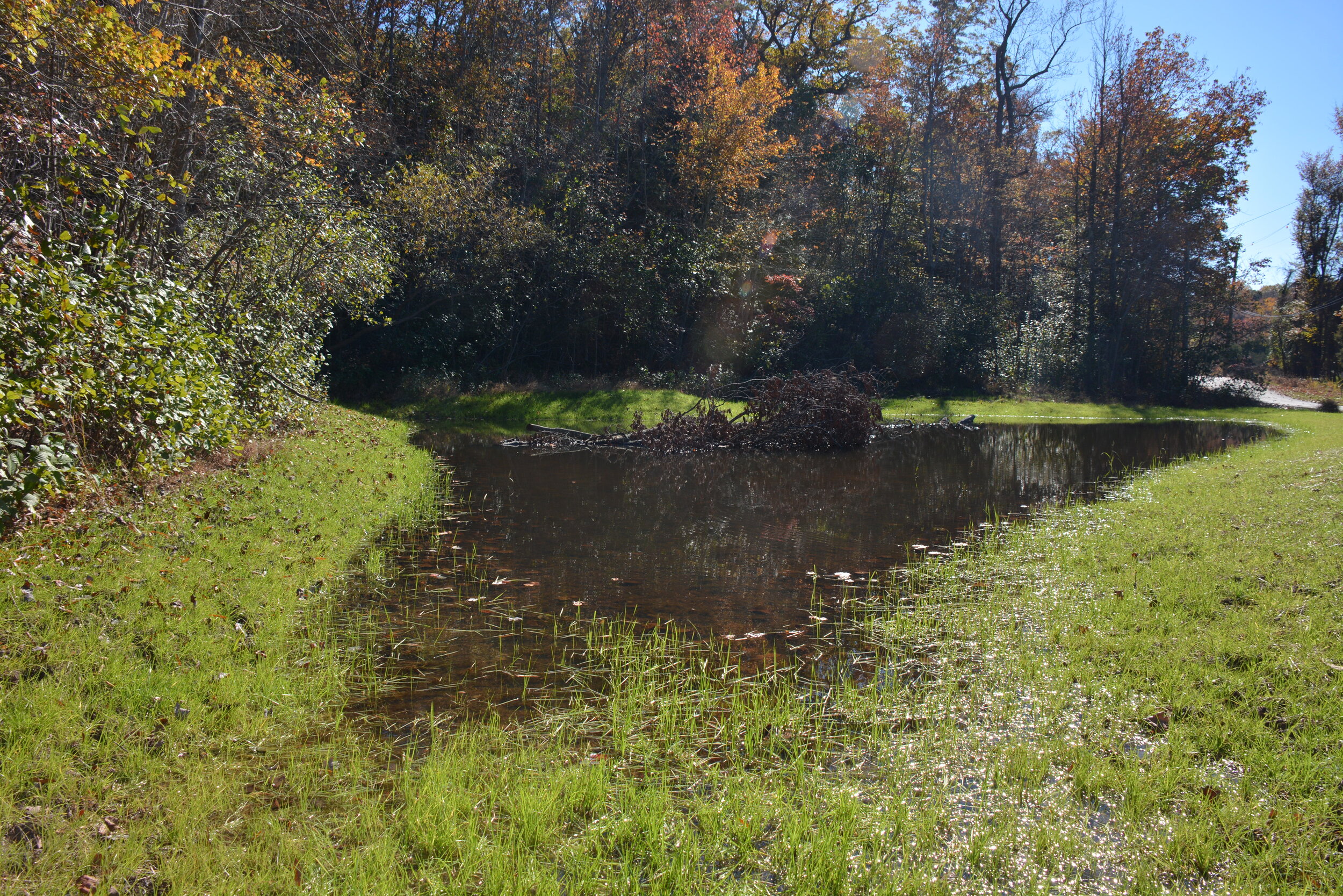
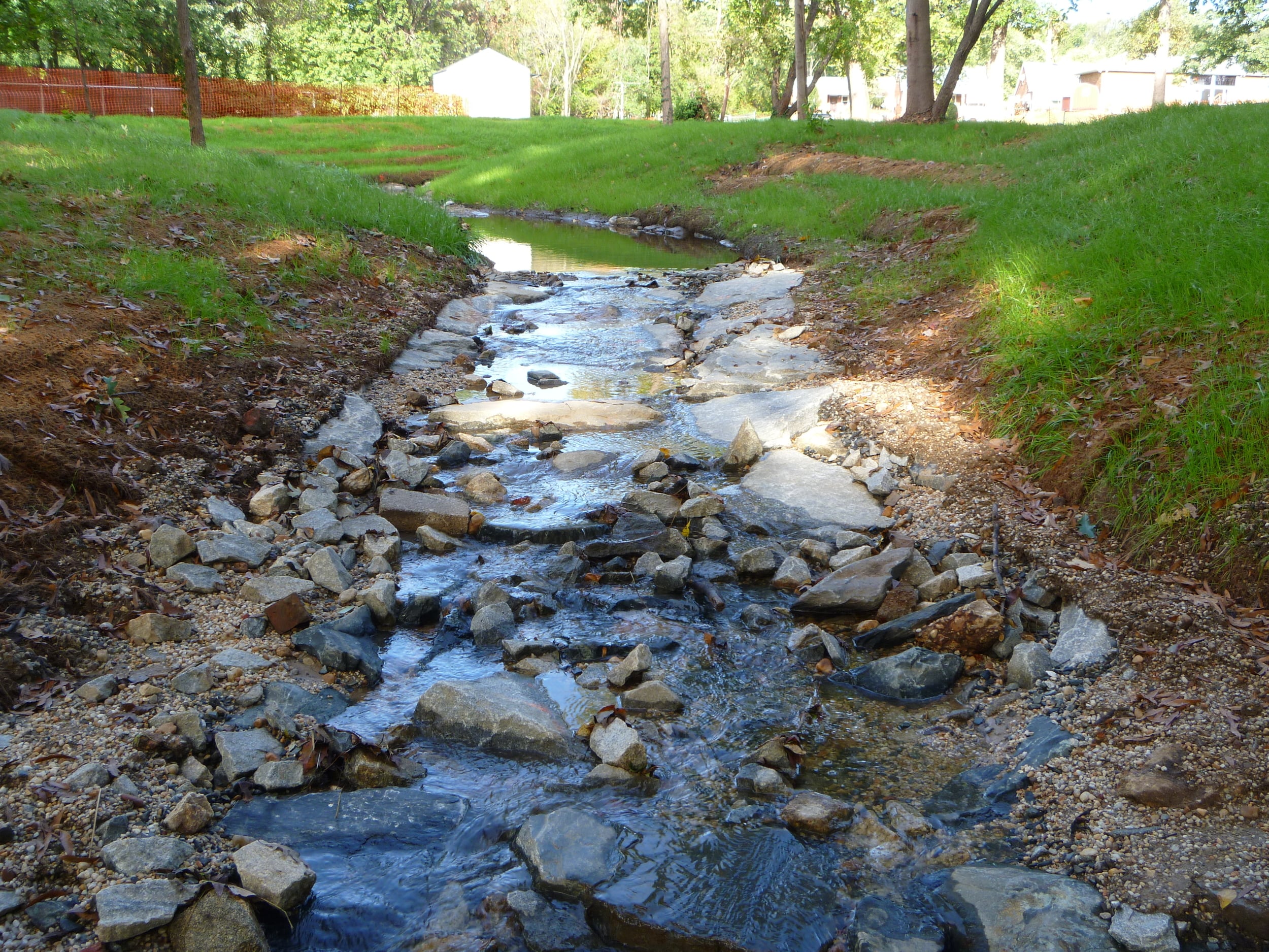
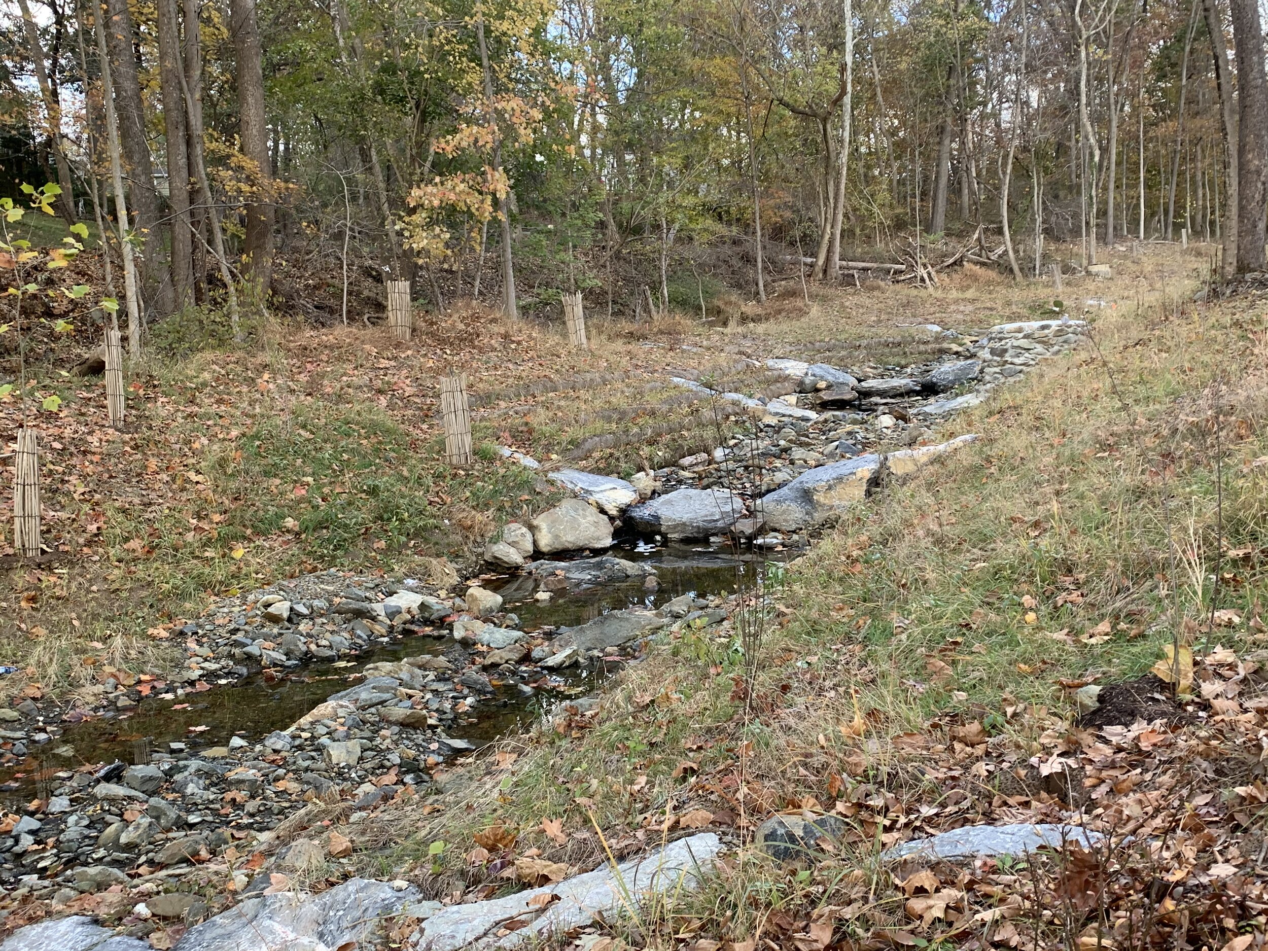
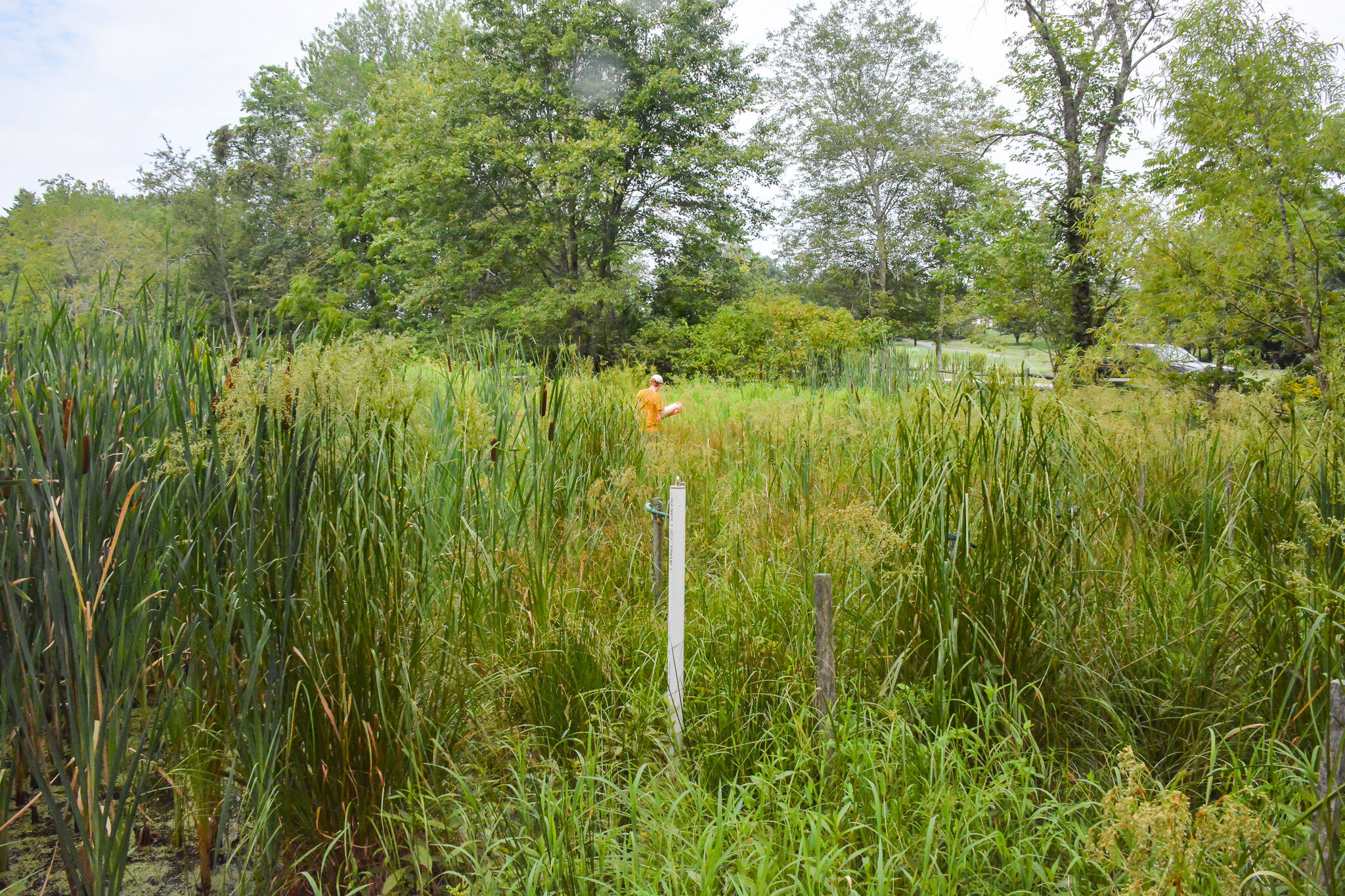
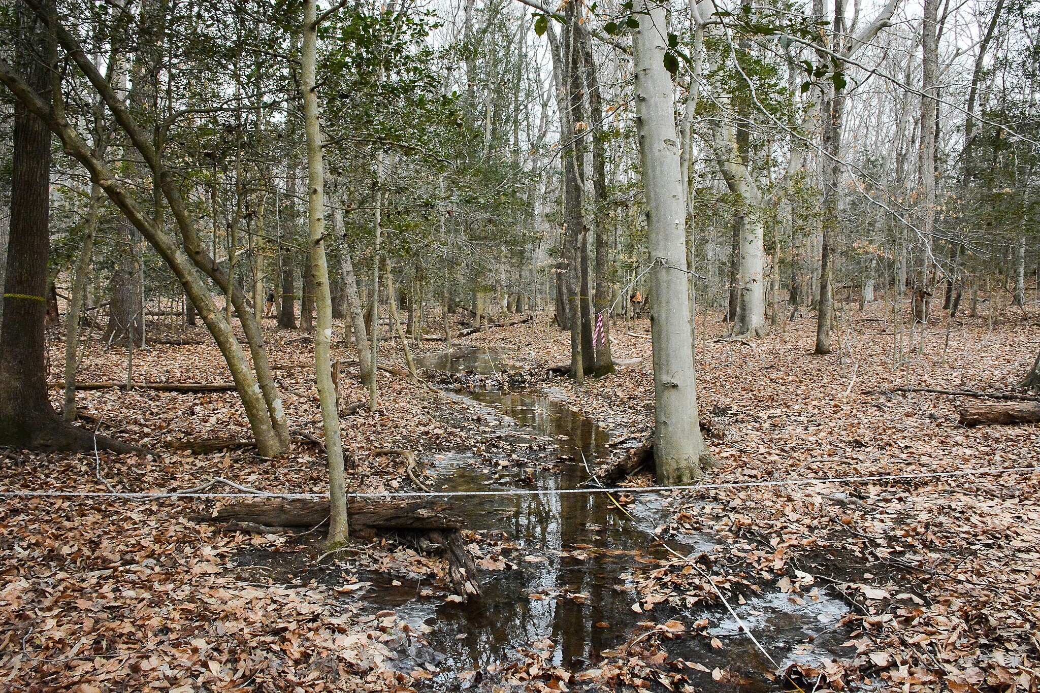
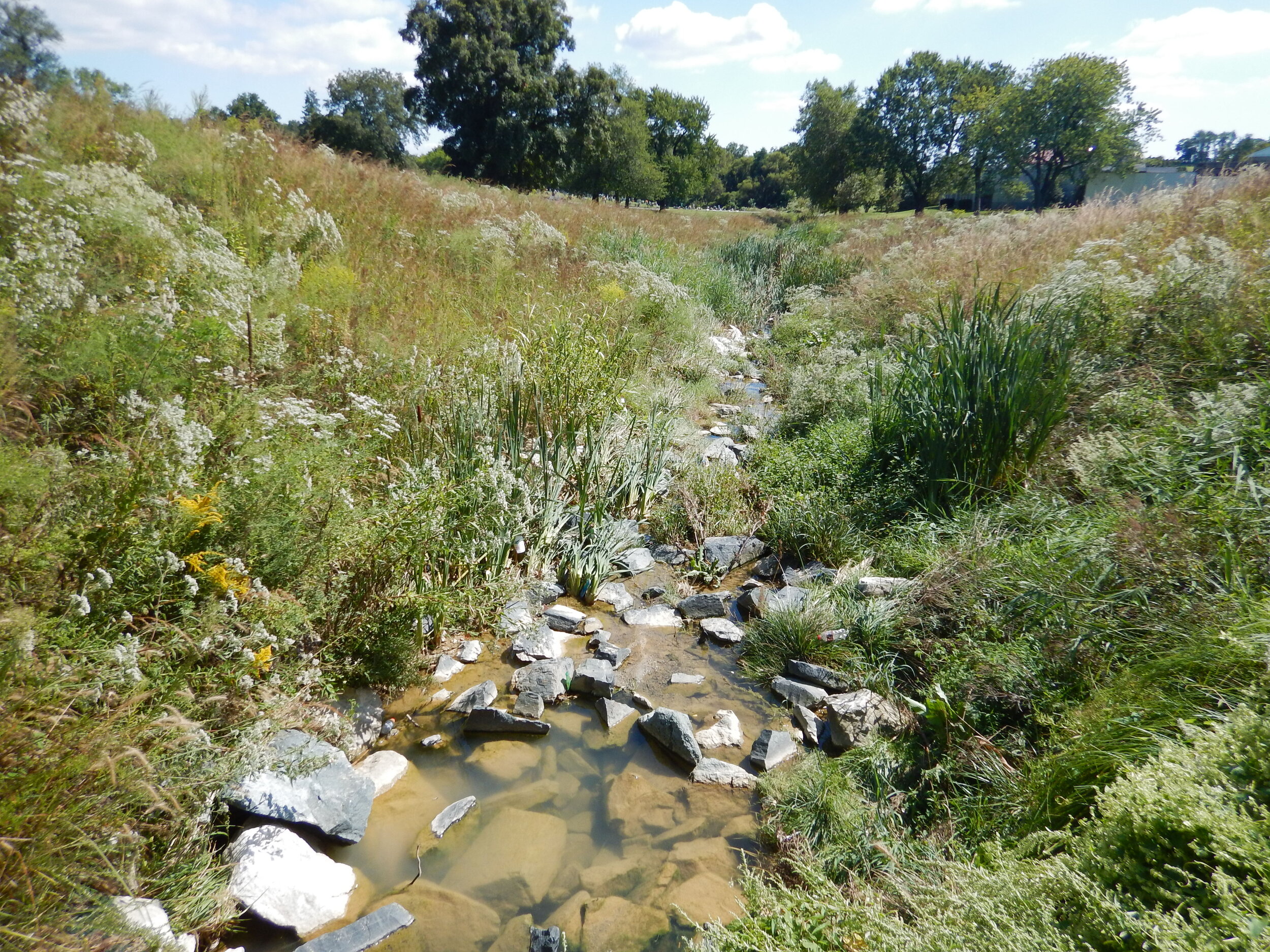
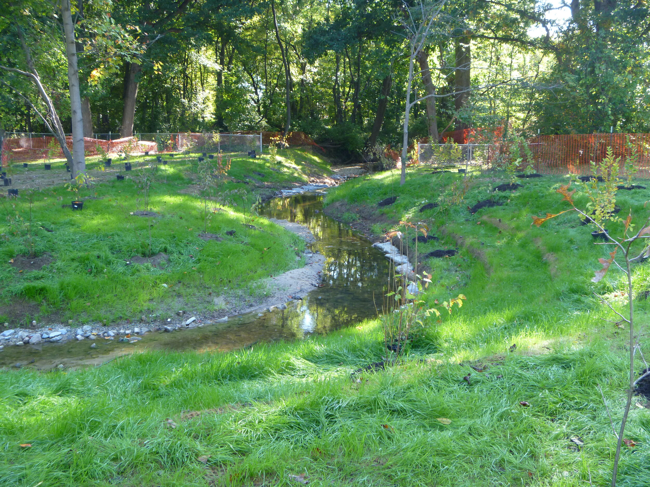
Stream Restoration & Wetland Restoration
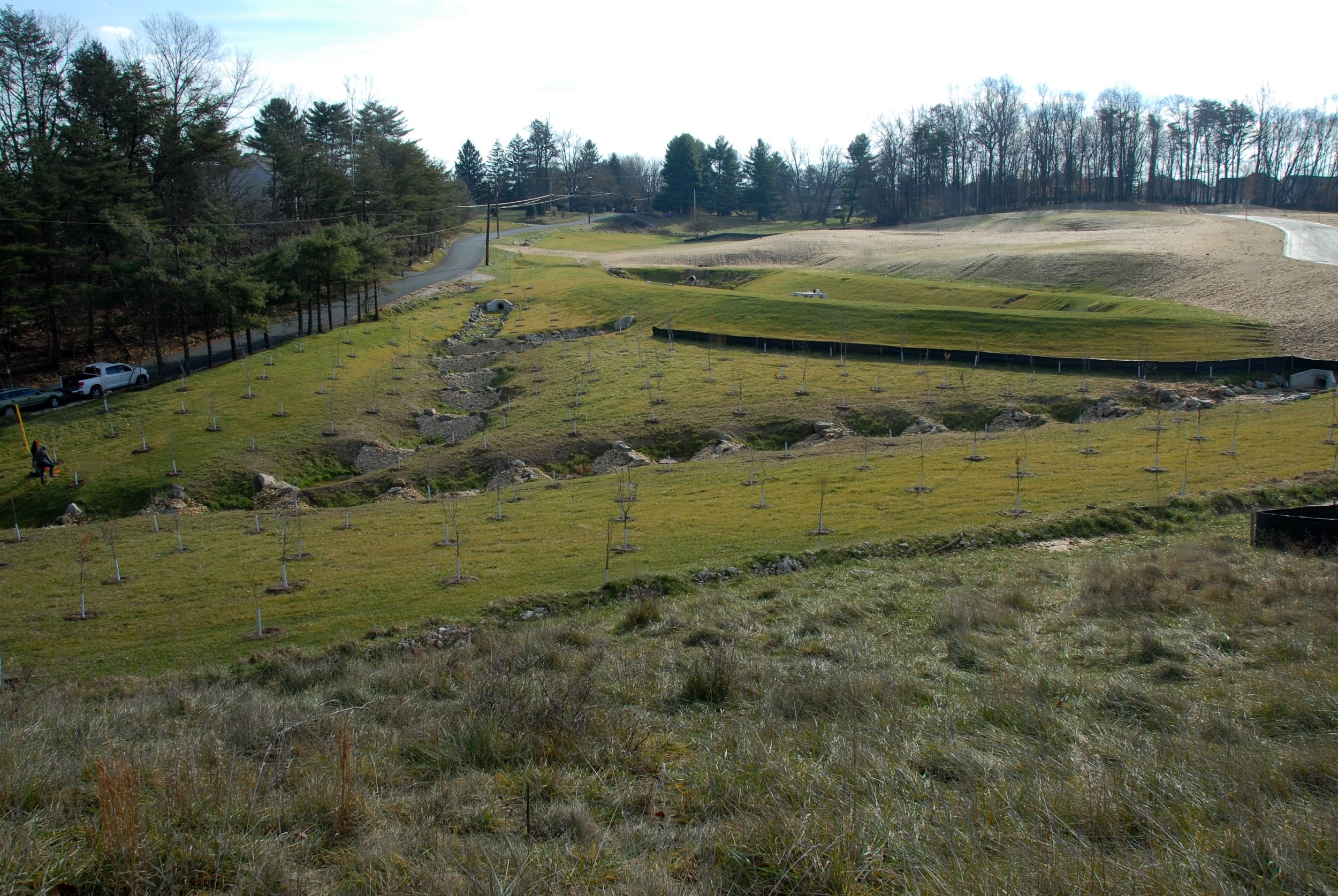
Stormwater Management Retrofit
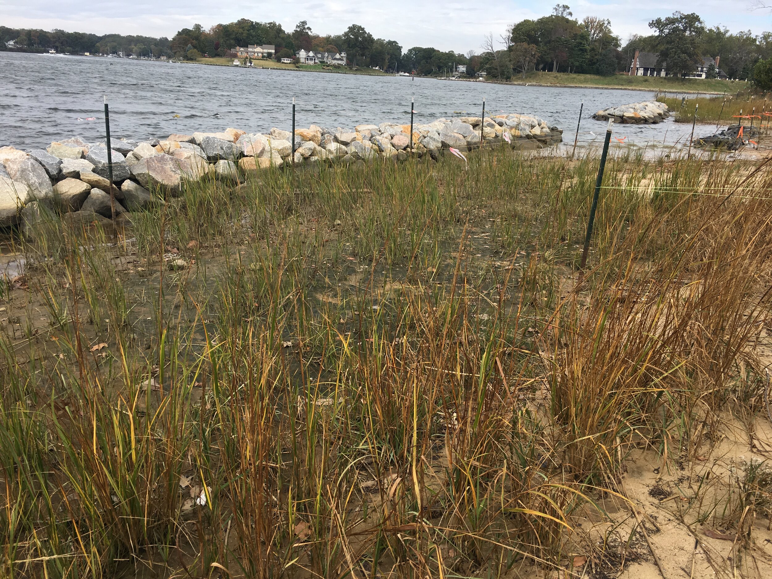
Shoreline Stabilization
Landscape Architecture
Federal, State and Local Permitting
Construction Management
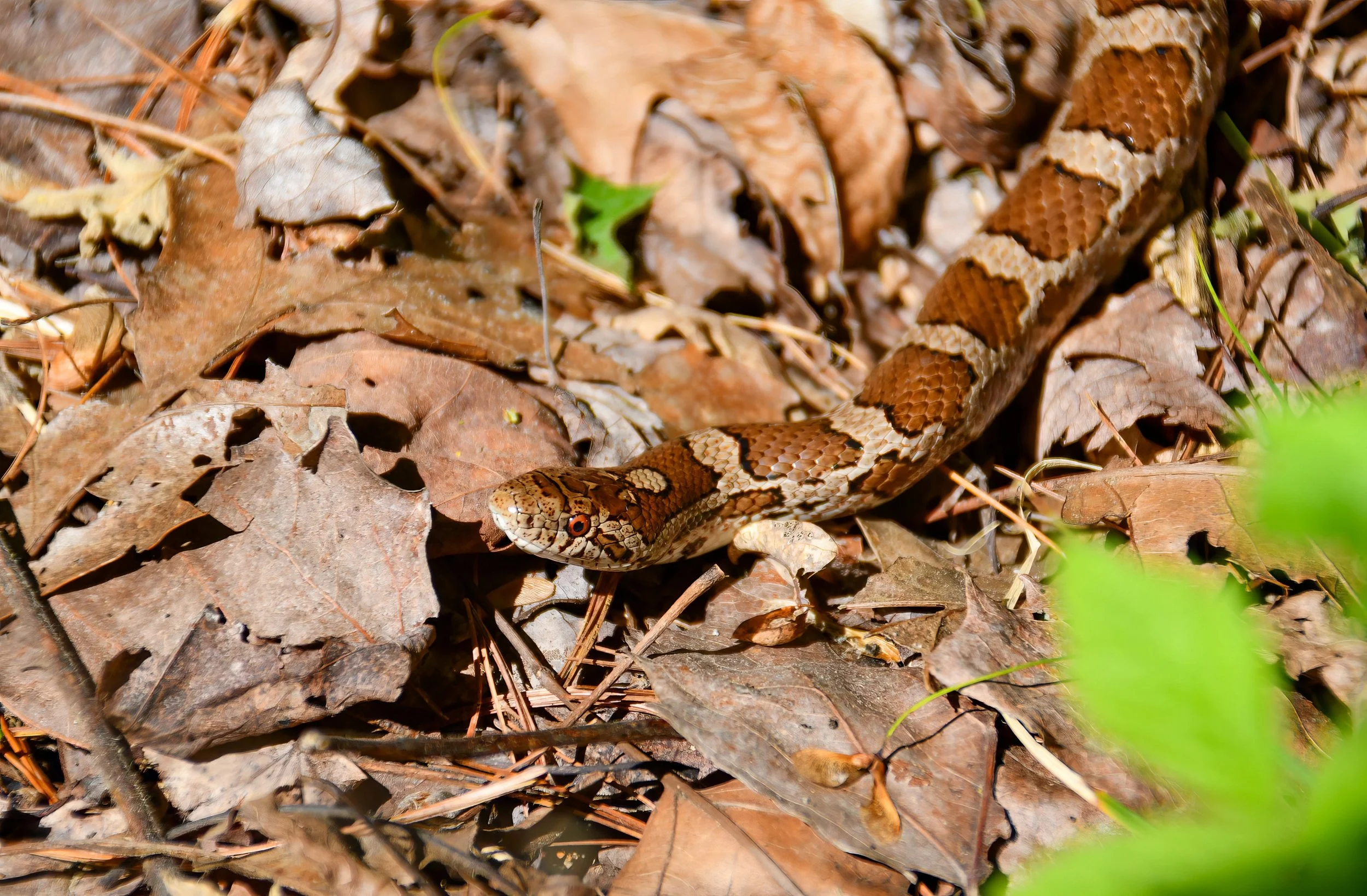
Invasive Species Management
Meadow Design & Management
Planning
Watershed Studies and Master Plans
NPDES & MS4 Permit Compliance
TMDL Credit Determination
Wetland Delineation
Forest Conservation
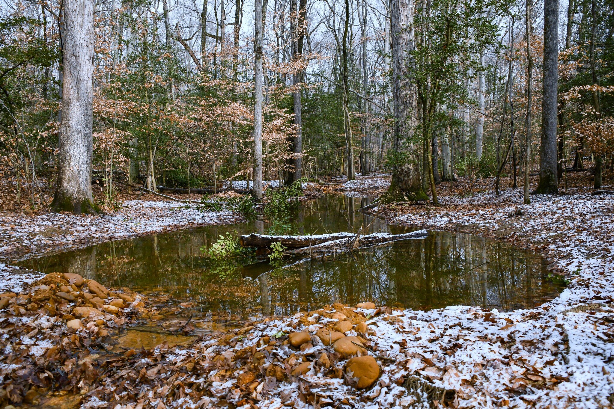
Natural Resources Inventory
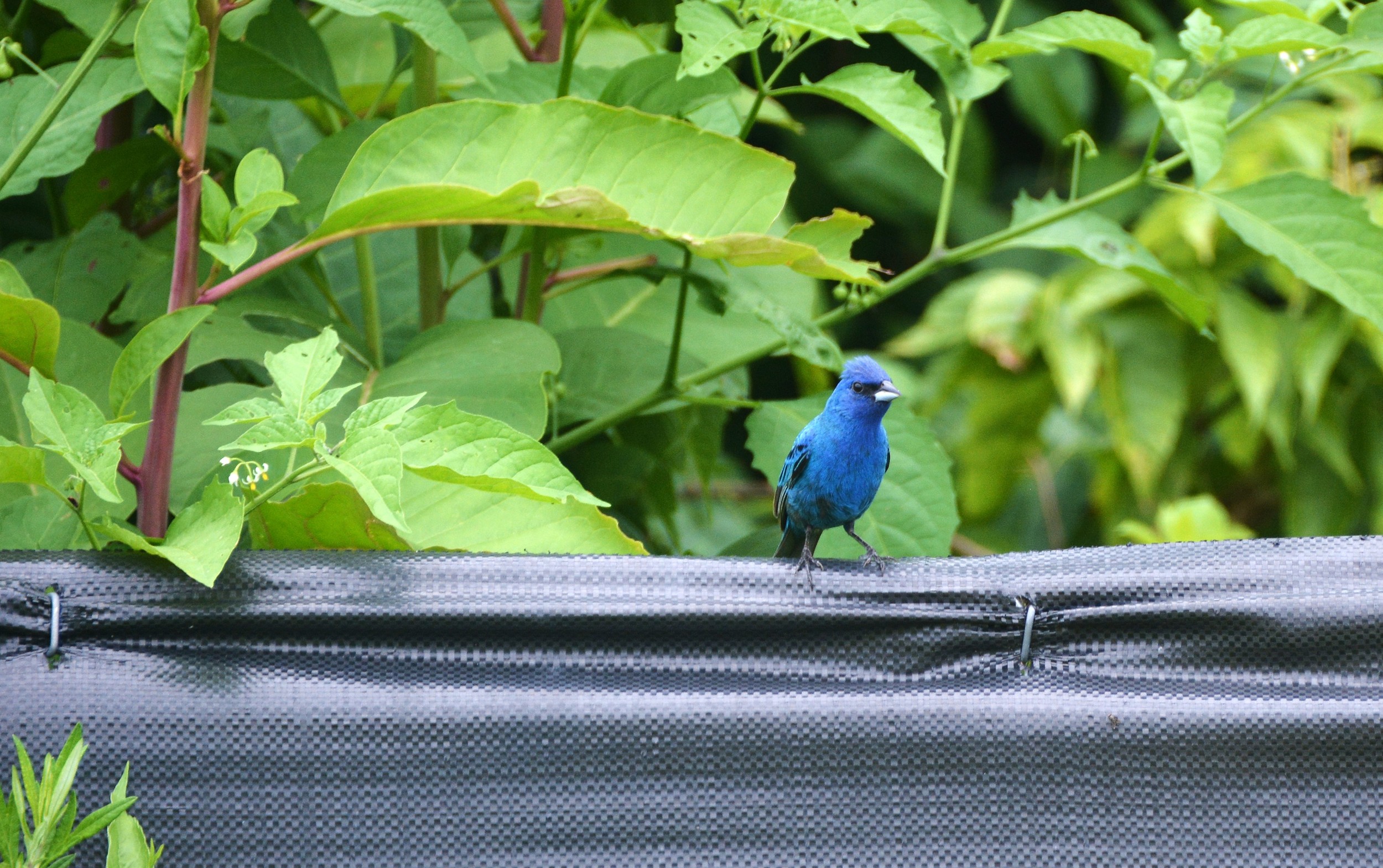
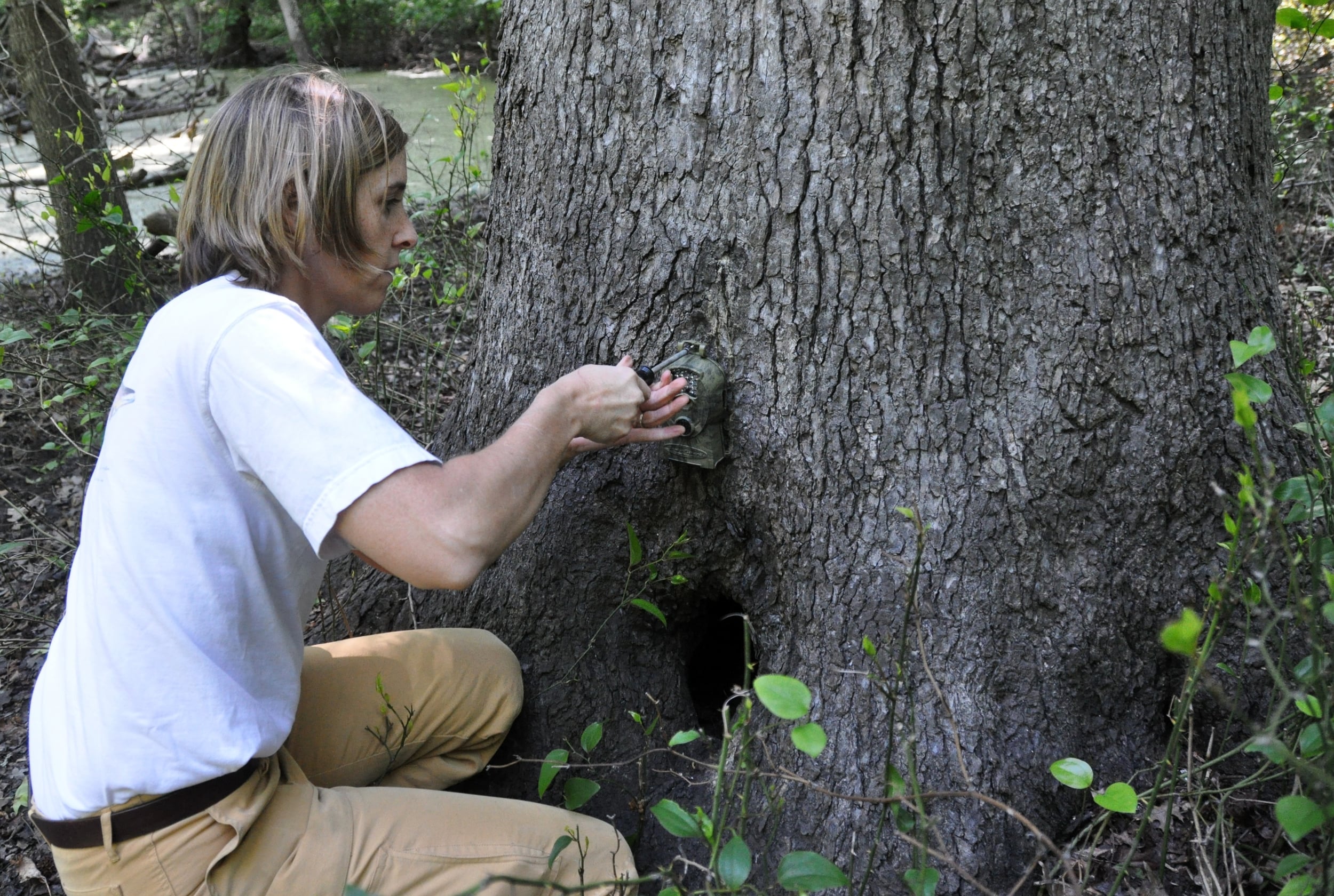
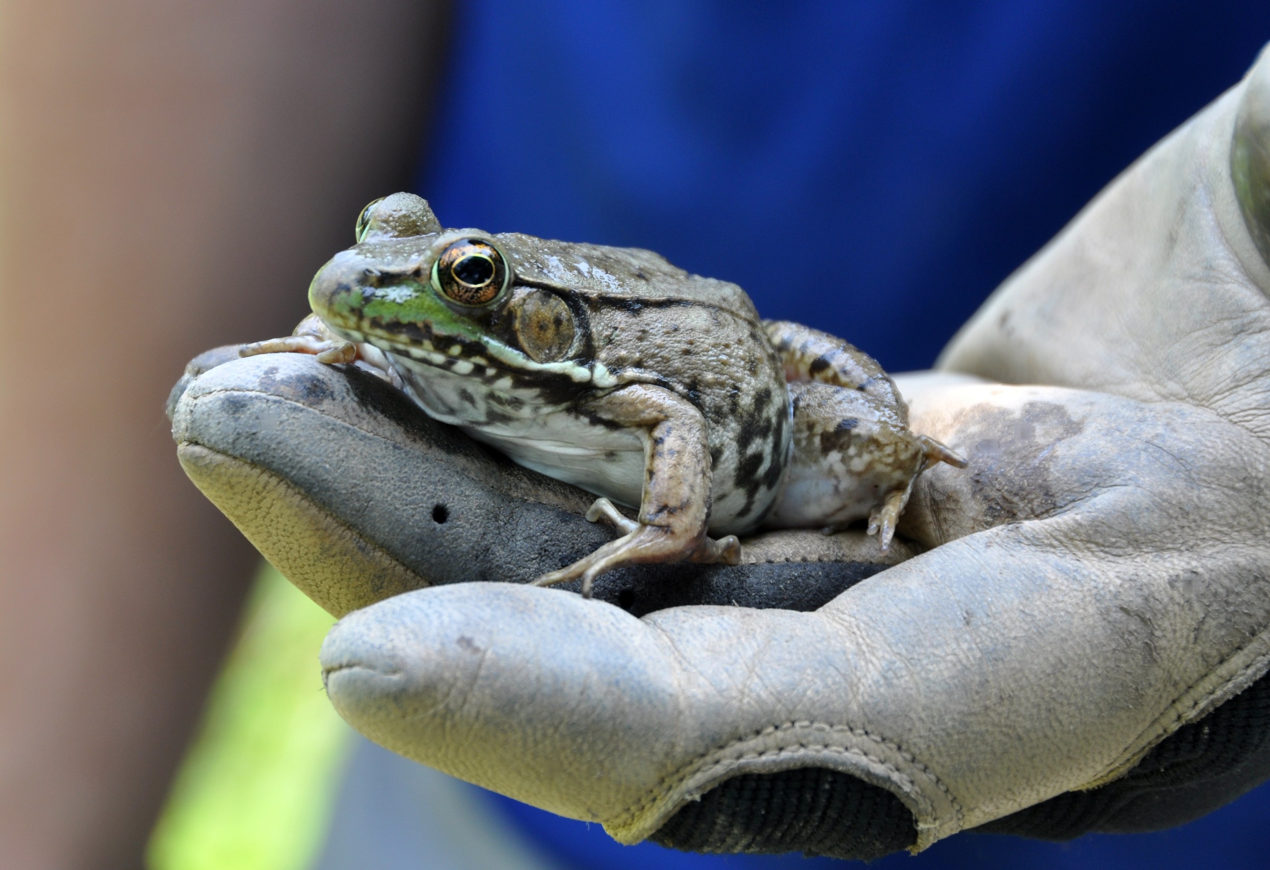
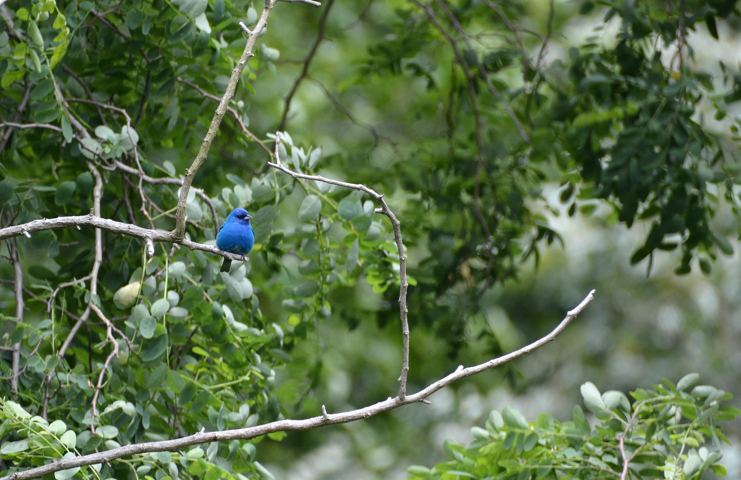
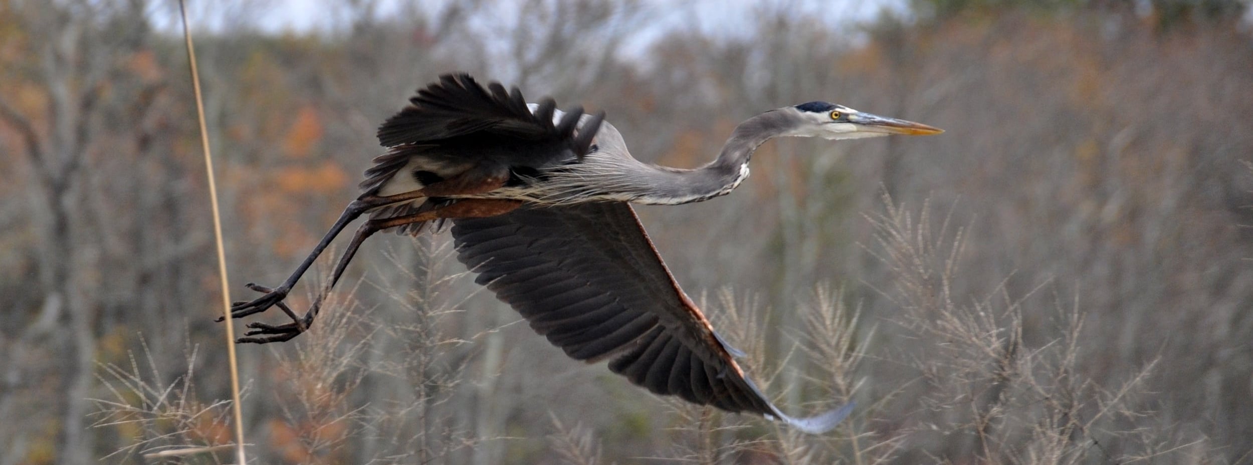
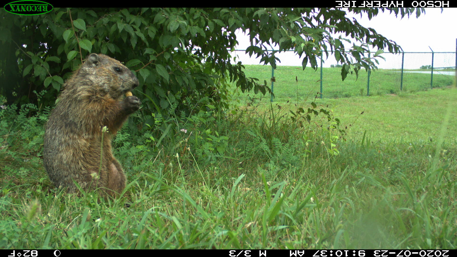
Wildlife Studies
Critical Area Compliance
NEPA Documents
Assessment and Monitoring
Fluvial Geomorphology & Functional Uplift
Tidal & Non-tidal Water Quality
Fisheries & Macroinvertebrates
Submerged Aquatic Vegetation Surveys
Wetland & Forest Performance Monitoring
Sediment & Erosion Control
Independent Environmental Monitor (IEM)
Rare, Threatened & Endangered Species Surveys
Unmanned Aerial (Drone) Services
Invasive Species Management
Climate and Coastal Resiliency
Ecological Restoration Monitoring